The individual section maps are overviews of the approximately 120 miles of the Paul Bunyan Trail. You may read each individual description to find the right area you are searching for and then click the “View Map” text to see that segment. You may also click each town on the section maps to see a description of that town and a detailed city map.
Section 1
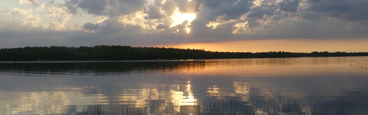
The beginning of the Paul Bunyan Trail runs through the scenic Brainerd Lakes Area. From mile markers 0.0 to 40.7 covering areas from Brainerd, Baxter, Merrifield, Nisswa, Pequot Lakes, Jenkins, Pine River, and up to Backus. View Map
Section 2Starting at mile marker 40.7 covering the seven miles to Hackensack ending in Walker at mile marker 71.0. The Section 2 map also includes the Heartland Trail, covering areas from Park Rapids, Dorset, Nevis, Akeley which joins the Paul Bunyan trail forming the Paul Bunyan & Heartland State Trail Corridor.
View Map
Section 3
Starting at mile marker 71.0 and ending at 107.9, Section 3 covers areas from Walker, Benedict, Laporte, Guthrie, Nary and Bemidji. With many bridges and scenic areas located along this segment of the trail it’s hard to pass up. The last stretch of the Paul Bunyan Trail starting with Bemidji at mile marker 100.6 and ending the 107.9 miles of the Paul Bunyan Trail at the junction of the Blue Ox Trail at Lake Bemidji State Park. The Heartland trail also continues north to Cass Lake. View Map